Crisis mapping
The real time mapping of political, social and environmental crises

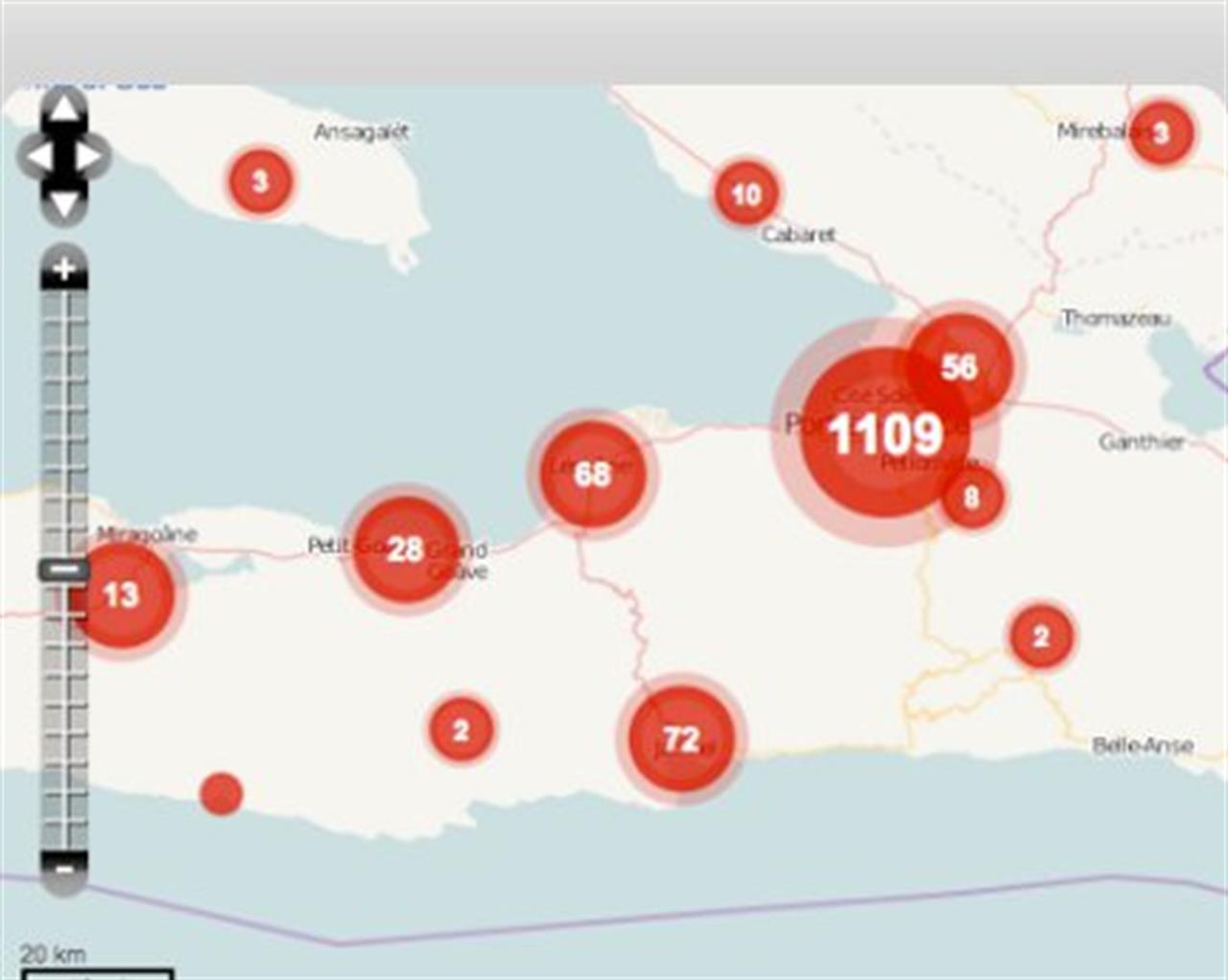
Crisis mapping, the real time mapping of political, social and environmental crises, is one of those disciplines that we could only dream about 30 or 40 years ago. The development over the course of the past decade of internet, GIS and mobile phones has, however, made live crisis mapping a thing of the present and if the international conference which took place in Geneva on November 14-15 is anything to go by, more and more a thing of the future.
There is more to crisis mapping than technology. Crisis mappers leverage a plethora of participatory instruments, statistical models and visual analytics to provide effective and rapid responses to complex emergencies.
The conference was organised by the International Network of Crisis Mappers (ICCM), which with over 3 thousand members from 191 countries is the largest international network of experts, practitioners and researchers in the field of crisis mapping. The conference focused on the role of mapping in humanitarian crisis response.
According to the ICCM, the response to the earthquake in Haiti in 2010 is a signal that there is much excitement regarding the potential of information communication technologies to provide tools that improve the response of emergency services, governments and NGOs during wars, natural disasters or societal upheavals.
Furthermore, crisis mapping solutions are being picked up by the mainstream media as an integral part of reporting, such as during the recent flooding in Sri Lanka and Australia, the crisis in Libya and the earthquake in Japan. Local community led efforts, such as those in the Kibera slums of Nairobi and on-going work in Haiti to use these new tools for long-term development, are also growing, claims the ICCM.
The conference also addressed the limitations of crisis-mapping, for example in the Sudan referendum, the recent North-African uprisings and related socio-political, cultural and economic sensitivities.
Crisis-mapping is going mainstream and this is the red line of the 2011 International Conference on Crisis Mapping in Geneva, Switzerland. The Geneva Region is the host of a large number of UN Agencies and other Intergovernmental Organizations, NGOs and business companies engaged in humanitarian operations, which are helping to determine or shape the operational needs for which the crisis-mapping community will be able to develop and deliver cutting-edge products and services in the future.
Find out more about crisis mapping
http://irevolution.net/2011/01/20/what-is-crisis-mapping/
Conference
http://jenziemke.files.wordpress.com/2011/04/iccm-genev1.pdf
http://crisismappers.net/
Si può usare la Carta docente per abbonarsi a VITA?
Certo che sì! Basta emettere un buono sulla piattaforma del ministero del valore dell’abbonamento che si intende acquistare (1 anno carta + digital a 80€ o 1 anno digital a 60€) e inviarci il codice del buono a abbonamenti@vita.it
